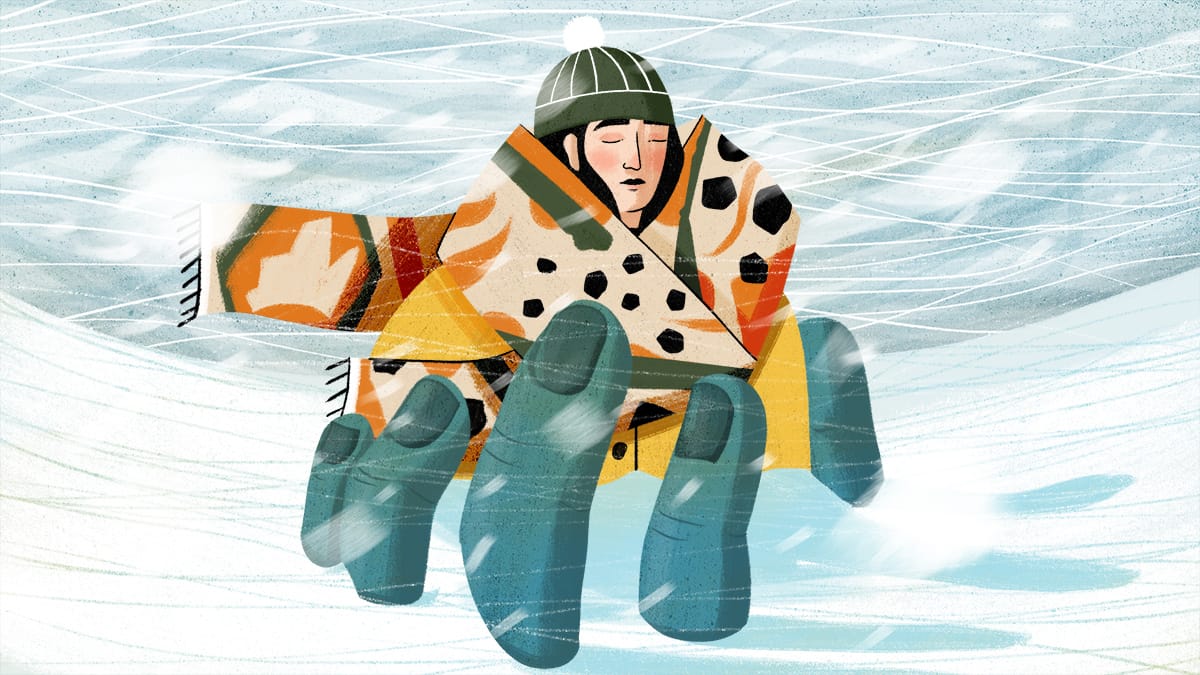
Snowstorm illustration by Houssem Zouaghi.
The cold finally arrived this winter, but the weather leaves much to be desired in the snow department.
Much of the East coast saw record cold over the weekend, arriving right after an equally historic snow-dry spell.
Mount Washington in New Hampshire broke records for the coldest wind chill ever recorded in the U.S. at -108 degrees F (-77 degrees C).
Wind chill warnings were in effect in nearly all of New England and New York, and temperatures were between 10 and 30 degrees below average in southern Connecticut, southern and western New York, and northeast Pennsylvania.
Boston experienced its lowest wind chill ever recorded at -39 degrees F (-39 degrees C) with winds gusting nearly 40 mph. Portland, Maine also recorded its all-time lowest wind chill at -45 degrees F (-43 degrees C).
Thousands of people lost power across the region. Boston’s National Weather Service described the cold as “a historic Arctic outbreak for the modern era,” claiming that “this is about as cold as it will ever get.”
The blast of Arctic air comes less than a week after parts of Oklahoma, Louisiana, Arkansas, and Texas saw an unseasonably cold ice storm, knocking out power for more than 500,000 homes and businesses.
Snow Drought
Meanwhile, despite a few snow flurries, New York’s Central Park had not had a measurable snowfall — which starts at a tenth of an inch — until Feb. 1. This means that the city, which averages about 30 inches of snow each winter, beat its record which was set on Jan. 29, 1973, according to the National Weather Service. This comes during a major snow drought in the region.
Similarly, Philadelphia was just a few days away from tying its February 3 all-time record, before experiencing its first measurable snow of the winter season on Feb. 1.
The snowfall was part of a small storm system off the coast.
New York and other major cities along the I-95 corridor, including Washington, Baltimore, and Philadelphia, are experiencing one of their least snowy seasons in the last five decades. The region has generally been warmer than usual, due to La Niña, which is now going on its third consecutive year.
Due to human-induced climate change and urbanization, the first recorded measurable snowfall of the season has been happening later each winter.
Increases in global temperature have led to a decrease in snowstorm frequency across the northeastern US, according to a study published in Advancing Earth and Space Science. However, there’s also evidence of more rain than snow over the region as well.
“Big storms still happen and all it takes is a nor’easter or two later this winter to make up for the major snow deficits we’ve experienced this season,” said Currently’s Science Director, Anthony Torres.
Without snow gathering on the ground, areas that usually get adequate snowfall throughout winter are left without a snowpack or a layer of snow that typically provides fresh water to the ground and rivers as it melts in the spring and summer.
As of today, the snow deficit across the rest of the region is set to continue.