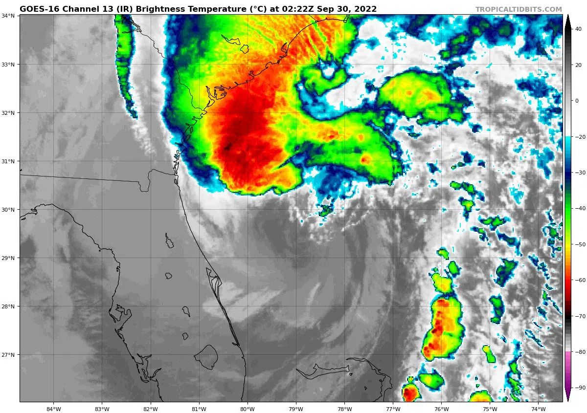
satellite image of hurricane Ian via tropical tidbits.
Hurricane Ian’s eyewall is approaching landfall as an almost Category 5 storm. For those on the west coast of Florida who have not evacuated — now is the time to bunker down. On the east coast, if you are under evacuation warnings, Wednesday is the time to leave.
Hurricane Ian poses a catastrophic threat to southwest Florida and a major flood threat to the entire state. As the eye of the storm makes landfall, meteorologists expect to see the most intense storm surges.

Image via NOAA
er Tuesday night into Wednesday morning with max sustained wind speeds of over 100 MPH. The National Weather Service is predicting over 150 MPF sustained winds throughout the duration of the storm through Friday.
According to Glenn Schwartz — Currently’s Hurricane expert — the eye of this storm is particularly large. While many folks may this the middle of the eye signifies the end of the storm, it’s actually just the halfway mark. Schwartz notes that while the eye can be a time to do minor repairs such as fixing boarded windows — this is not an opportunity to evacuate or venture out to explore damages.
9/28 11am EDT: Eyewall of #Ian moving onshore! Catastrophic storm surge along with destructive waves are expected along the southwest Florida coast from Englewood to Bonita Beach, including Charlotte Harbor. Residents should urgently follow evacuation orders in effect. pic.twitter.com/a82s6OGus6
— NHC Storm Surge (@NHC_Surge) September 28, 2022
Storm surges on the western coast are forecasted to get up to a maximum of 18 feet. The surges are expected to increase throughout today and peak Wednesday night.
Central Florida is expected to see extreme rain and flooding throughout the next few days. Already over 300,000 people are without power as of 1 PM.
The latest Day 1 outlook from @NWSWPC highlights high risk of excessive rainfall across a large portion of the central Florida peninsula from #Ian.
Widespread, life-threatening catastrophic flooding is expected across this portion of Florida.
More info: https://t.co/pezKG4JGLF pic.twitter.com/la1LHPwMlN
— National Hurricane Center (@NHC_Atlantic) September 28, 2022
From now until the threat of Hurricane Ian is over, Glenn Schwartz will publish his Hurricane newsletter — Currently in the Atlantic — twice a day, subscribe for in-depth forecasts. Through the duration of the storm Currently is also offering our text a meteorologist service for free.
