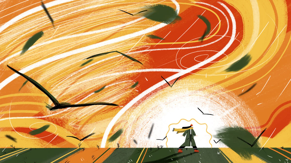
Illustration of a tornado by Houssem Zouaghi.
A storm system making its way across the Pacific Northwest Sunday is predicted to bring severe weather, from strong winds and rain to tornadoes across the South.
“Severe thunderstorms thrive on four key ingredients: buoyant air, moisture, strong winds aloft, and a trigger to initiate storm development,” said Anthony Torres, Currently’s Chief Meteorologist. “Tuesday, we will have all four of those ingredients come together, which gives us high confidence that we will see severe thunderstorms develop across the Lower Mississippi River Valley.”
Severe thunderstorms will affect about 30 million people in the American South — including parts of northeastern Texas, northwestern Louisiana, and central and eastern Arkansas — later Tuesday.
“We expect these storms to get going Tuesday afternoon, and then last well into the evening and overnight hours as the storms track eastward,” Torres said.
Nocturnal tornadoes are particularly dangerous as they’re much harder to see and strike when most people are asleep and don’t know to seek a safe location. Also, if people’s phones are muted, they won’t know of the impending danger.
The Storm Prediction Center has already placed much of northern Mississippi, northwestern Louisiana, and southeastern Arkansas under a level 4 out of 5, or moderate risk, for severe thunderstorms on Tuesday.
“This is where the greatest overlap of ingredients are expected, and where the greatest confidence severe thunderstorms will happen,” Torres said. “While there is greater uncertainty farther out, the potential for severe thunderstorms extends as far north as Memphis and Nashville, Tennessee, to as far east as Birmingham, Alabama, and all along the Gulf Coast from Houston, Texas to Mobile, Alabama.”
The National Weather Service also warned of wind damage and some hail Tuesday in the Mississippi Valley.
“A significant severe-weather event appears likely across parts of this region,” the weather service said on Twitter.
This same storm is expected to move across Kansas with snow in the North as it enters the Great Lakes region Wednesday.
“The greatest concern for tomorrow will be watching the development of supercells capable of producing strong (EF2+) tornadoes,” Torres said.
The latest Storm Prediction Center forecast says there is at least a 10 percent chance of these happening within 25 miles anywhere from Memphis, Tennessee down to Jackson, Mississippi.
In the meantime, the best thing you can do if you’re in the affected region is to review your tornado safety plan. If you don’t have one, Ready.gov is a good first step.
“It is absolutely critical that you identify a safe location to head to in the event of a tornado, but also have multiple ways to get weather alerts,” said Torres. “Do not rely just on tornado sirens or your phone. Make sure you have access to local TV/radio, or also even a NOAA Weather Radio. It is very important to ensure that if a tornado is moving towards your area, you have a way of being alerted so that you can take the appropriate actions to protect yourself and your loved ones.”